
Key Takeaways
- The Ganga is the longest river in India, measuring approximately 2,525 km, followed by Godavari, Krishna, Yamuna, and Narmada.
- The major rivers of India originate from the Himalayas and peninsular regions, with different flow patterns and water sources.
- Essential details about the longest rivers include their lengths, origins, tributaries, and their significance in agriculture and water supply.
- Candidates preparing for competitive exams should focus on major rivers, their features, and important dams associated with them.
- Map-based learning helps in understanding river distributions, improving performance in Geography-related questions.
Longest Rivers in India
Longest Rivers in India 2026: The Ganga is India’s longest river by its commonly reported length within the country, measuring approximately 2,525 km. It is followed by the Godavari, Krishna, Yamuna and Narmada among the major rivers commonly featured in competitive exam lists. Indian rivers play an important role in agriculture, transportation, hydroelectric power generation and the country’s ecosystem. Questions about river lengths, origins, tributaries and drainage basins are frequently asked in SSC, Railway, Banking and other government examinations. This article covers ten important long rivers of India, their sources and major geographical facts.
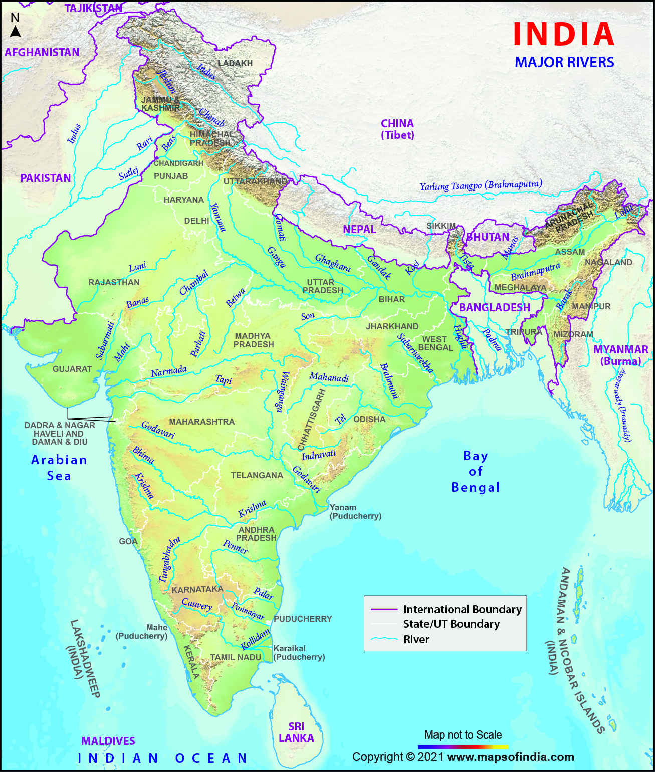
What does the major rivers of India map show?
The major rivers of India map shows the distribution and general courses of important rivers across the country. Himalayan rivers such as the Ganga, Yamuna, Indus and Brahmaputra originate in or near the Himalayan region, while peninsular rivers such as Godavari, Krishna, Narmada and Kaveri originate within the Indian peninsula. Understanding their locations helps candidates answer map-based Geography questions.
What are the top 10 longest rivers in India in 2026?
The Ganga, Godavari, Krishna, Yamuna and Narmada are among the longest major rivers associated with India. The Indus and Brahmaputra are longer when measured along their entire international courses, but only parts of these rivers flow through Indian territory. The table below presents a commonly used competitive-exam list of ten major long rivers, with approximate lengths within India.
| S.No. | River | Length in India (km) | Origin |
|---|---|---|---|
| 1 | Ganga | 2,525 | Gangotri Glacier region, Uttarakhand |
| 2 | Godavari | 1,465 | Trimbakeshwar, Maharashtra |
| 3 | Krishna | 1,400 | Mahabaleshwar, Maharashtra |
| 4 | Yamuna | 1,376 | Yamunotri Glacier, Uttarakhand |
| 5 | Narmada | 1,312 | Amarkantak, Madhya Pradesh |
| 6 | Indus | 1,114 | Tibetan Plateau |
| 7 | Brahmaputra | 916 | Tibetan Plateau |
| 8 | Mahanadi | 851 | Sihawa Hills, Chhattisgarh |
| 9 | Kaveri | 800 | Talakaveri, Karnataka |
| 10 | Tapi (Tapti) | 724 | Multai, Madhya Pradesh |
Note: This is a conventional list of ten prominent long rivers, not an exhaustive ranking of every Indian river or tributary. River lengths may vary slightly between geographical references. The Indus and Brahmaputra figures refer to their commonly reported stretches within India.
What are the important facts about the longest rivers in India?
India’s major rivers have different geographical characteristics, including their sources, tributaries, drainage patterns and economic importance. Candidates preparing for competitive examinations should focus on these details along with river lengths. The following sections explain ten important long rivers of India.
Longest River of India – Ganga River (2525 km)
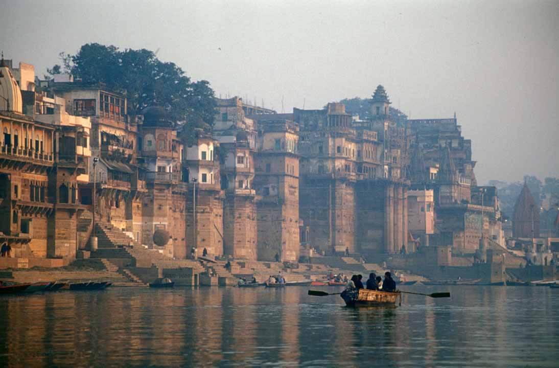
The Ganga is the longest river in India by the commonly reported Indian river-course length. Its main headstream, the Bhagirathi, originates from the Gangotri Glacier region in Uttarakhand, and the river takes the name Ganga at Devprayag. It flows through Uttarakhand, Uttar Pradesh, Bihar, Jharkhand along a short boundary stretch, and West Bengal before entering Bangladesh. Important tributaries include the Yamuna, Ghaghara, Gandak, Kosi and Son. The Ganga-Brahmaputra-Meghna river system forms the world’s largest delta, including the Sundarbans region.
2nd Longest River of India – Godavari (1465 km)
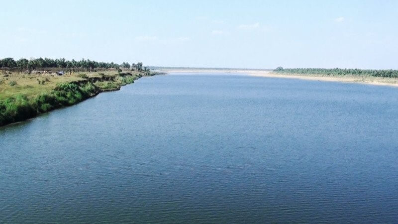
The Godavari is the longest river of Peninsular India and is popularly known as the Dakshin Ganga or Ganga of the South. It originates near Trimbakeshwar in Maharashtra and flows eastwards towards the Bay of Bengal. Its basin extends across several states, including Maharashtra, Telangana, Andhra Pradesh, Chhattisgarh and Odisha. Important tributaries include Pranhita, Indravati, Manjira and Sabari. The Godavari plays an important role in irrigation, drinking-water supply and agriculture.
3rd Longest River of India – Krishna (1400 km)
The Krishna is one of the longest rivers of Peninsular India, with a length of approximately 1,400 km. It originates near Mahabaleshwar in the Western Ghats of Maharashtra and flows through Karnataka, Telangana and Andhra Pradesh before draining into the Bay of Bengal. The Bhima, Tungabhadra, Koyna and Ghataprabha are among its important tributaries. Major projects associated with the Krishna River include Nagarjuna Sagar and Srisailam. The river supports irrigation, hydropower generation and agriculture in southern India.
4th Longest River of India – Yamuna (1376 km)
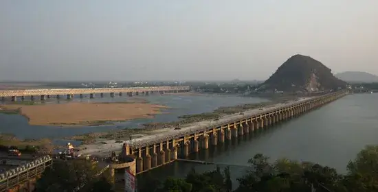
The Yamuna is the longest major tributary of the Ganga, measuring approximately 1,376 km. It originates from the Yamunotri Glacier in Uttarakhand and flows through or along parts of Uttarakhand, Himachal Pradesh, Haryana, Delhi and Uttar Pradesh before joining the Ganga at Prayagraj. Important tributaries include the Chambal, Betwa, Ken and Tons. The Yamuna is a major source of water for Delhi, and the Taj Mahal in Agra is located on its banks. Unlike rivers draining directly into the sea, the Yamuna joins another river.
5th Longest River of India – Narmada (1312 km)
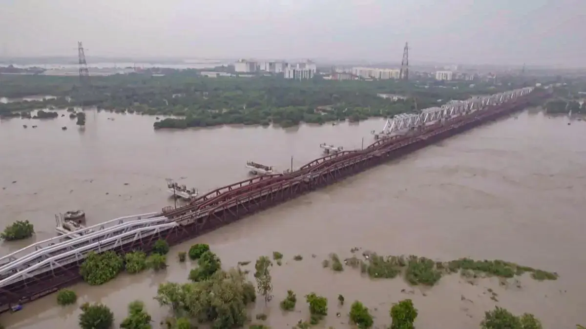
The Narmada is one of India’s major west-flowing rivers, with a length of approximately 1,312 km. It originates at Amarkantak in Madhya Pradesh and flows through a rift valley between the Vindhya and Satpura ranges. The river eventually drains into the Arabian Sea through the Gulf of Khambhat in Gujarat. It is often called the Lifeline of Madhya Pradesh because of its importance to agriculture and water supply. Sardar Sarovar Dam, Dhuandhar Falls and the Marble Rocks at Bhedaghat are important features associated with the Narmada.
Indus – 1114 km
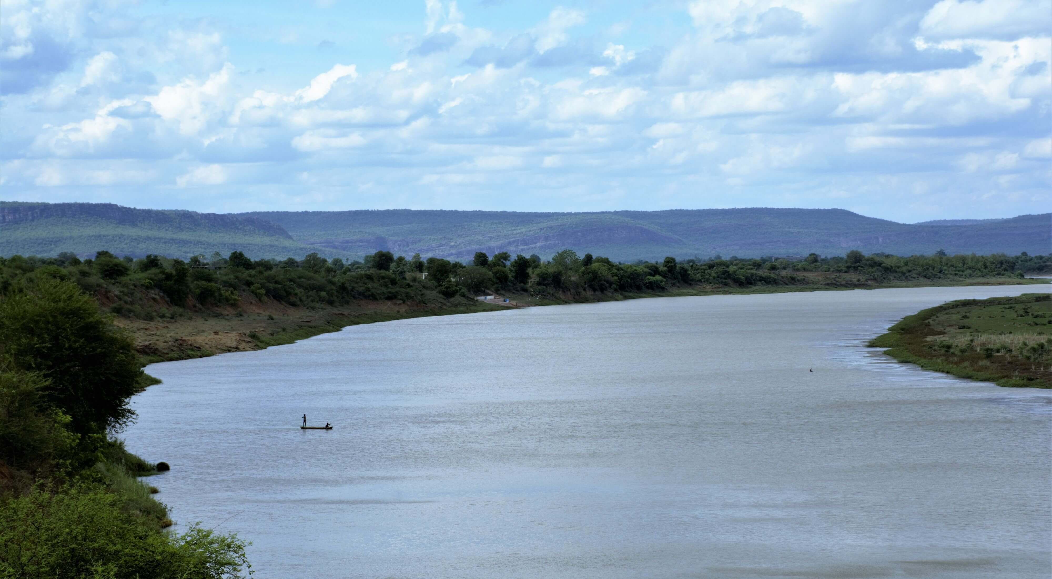
The Indus is one of Asia’s historically important rivers and is closely associated with the Indus Valley Civilisation. It originates on the Tibetan Plateau near the Lake Manasarovar region and flows through Ladakh before entering Pakistan. Its total length is approximately 3,180 km, while the commonly reported Indian stretch is around 1,114 km. Important tributaries of the Indus system include the Jhelum, Chenab, Ravi, Beas and Sutlej. The river eventually drains into the Arabian Sea near Karachi in Pakistan.
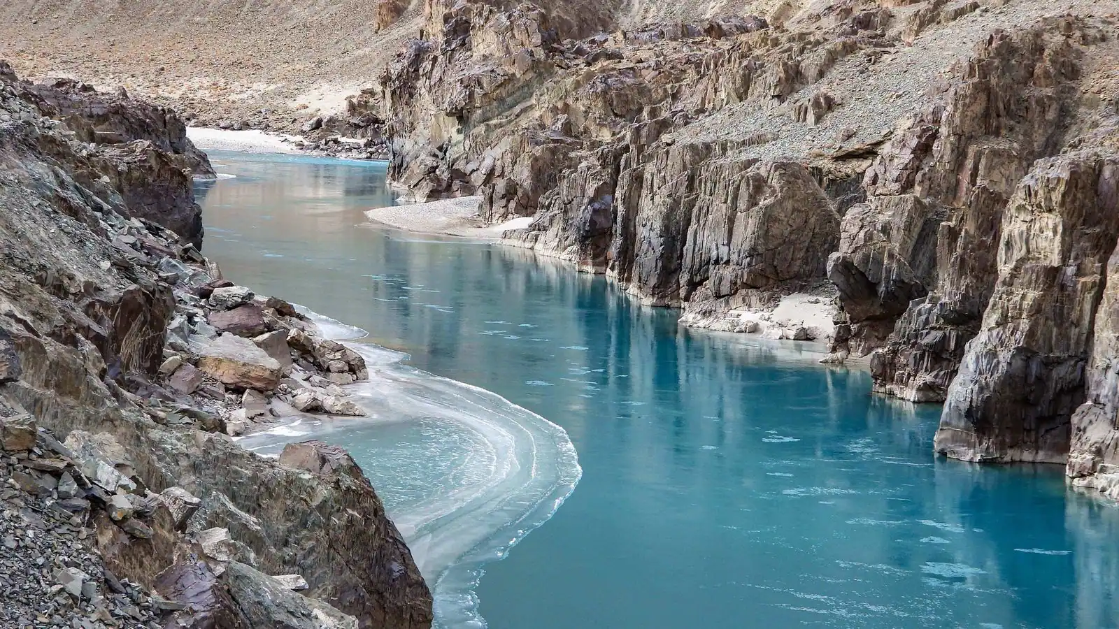
The Indus River is historically famous in Asia. It originated from the Tibetan Plateau and then flows through the Ladakh, then enters Pakistan, and finally pours itself into the Arabian Sea after traveling a distance of 3180 km. Besides India, it also passes through China and Pakistan.
Brahmaputra- 916 km
The Brahmaputra is one of the major Himalayan river systems, with an overall length of approximately 2,900 km and a commonly reported Indian stretch of about 916 km. Known as the Yarlung Tsangpo in Tibet, it enters India through Arunachal Pradesh and flows into Assam before reaching Bangladesh. The river is important for agriculture, transportation and freshwater resources in Northeast India. Majuli, located in Assam, is one of the world’s notable inhabited river islands. The Brahmaputra is also known for its powerful flow and extensive annual flooding.
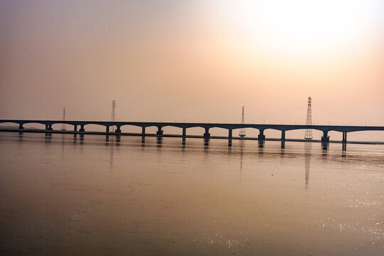
The Brahmaputra is an important river for irrigation and transportation also known as the Life Line of Assam and originates on the Angsi Glacier. The Brahmaputra enters India in the state of Arunachal Pradesh then enters the state of Assam and forms Majuli, the biggest river island in the world. Its length is around 2900 km and plays an important role in irrigation and transportation.
Mahanadi – 851 km
The Mahanadi is an important east-flowing river of India, with a length of approximately 851 km in major river-basin records, although some references use about 890 km. It originates in the Sihawa Hills region of Chhattisgarh and flows through Chhattisgarh and Odisha before entering the Bay of Bengal. The Seonath, Hasdeo, Mand and Ib are among its important tributaries. Hirakud Dam, located near Sambalpur in Odisha, is one of the major multipurpose river projects associated with the Mahanadi.
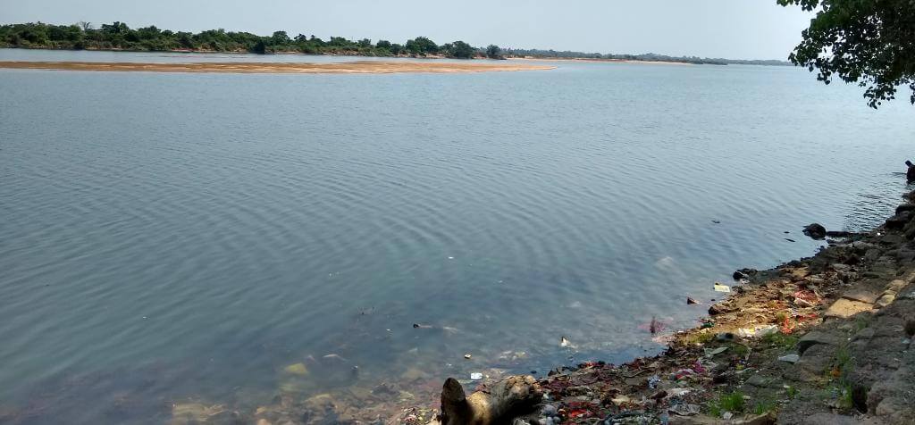
Kaveri- 800 km
The Kaveri, also called Cauvery, is an important river of southern India, measuring approximately 800 km. It originates at Talakaveri in the Brahmagiri Hills of Karnataka and flows through Karnataka and Tamil Nadu before entering the Bay of Bengal. Important tributaries include the Kabini, Hemavati, Bhavani and Amaravati. The river supports agriculture, irrigation and water supply in southern India. Shivanasamudra Falls and the Srirangapatna river island are well-known geographical features associated with the Kaveri.
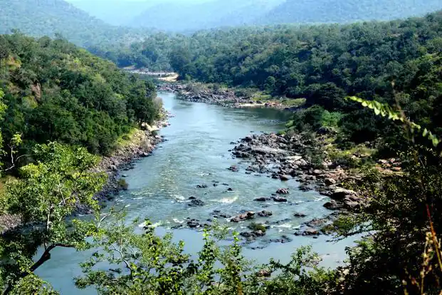
Tapti- 724 km
The Tapti, also known as Tapti, is a major west-flowing river of Peninsular India, with a length of approximately 724 km. It originates near Multai in the Betul district of Madhya Pradesh and flows through Maharashtra and Gujarat before entering the Arabian Sea through the Gulf of Khambhat. The Purna and Girna are among its important tributaries. Like the Narmada, the Tapi flows westwards through a tectonically influenced valley. Ukai Dam in Gujarat is an important project associated with this river.
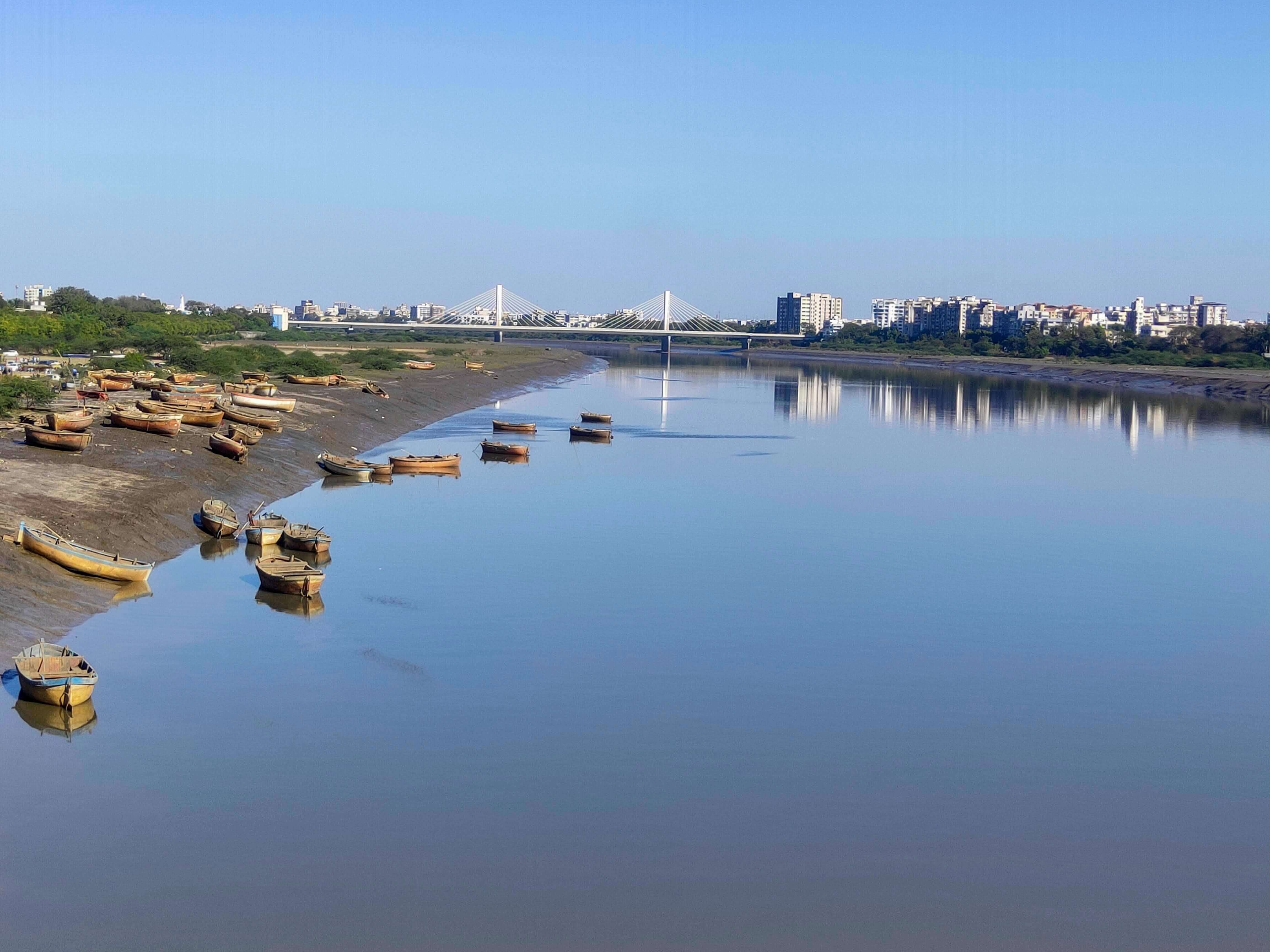
Which is the longest river in Peninsular India?
The Godavari is the longest river in Peninsular India, with a length of approximately 1,465 km. It originates at Trimbakeshwar in Maharashtra and flows towards the Bay of Bengal. The river is also called Dakshin Ganga because of its length, cultural significance and importance to southern India. The Krishna, Narmada, Kaveri and Tapi are other important rivers of Peninsular India.
Which is the largest river in India by water volume?
The Brahmaputra is generally recognised as one of India’s largest rivers by water discharge, carrying an exceptionally large volume of water through Northeast India. Its discharge is especially high during the monsoon season. The Ganga, although commonly identified as India’s longest river, has a different drainage pattern and flow characteristics. Candidates should remember that river length, drainage-basin area and water discharge are different measures and do not necessarily produce the same ranking.
What is the difference between Himalayan and Peninsular Rivers?
Himalayan and Peninsular rivers differ in their origin, flow patterns and water sources. Himalayan rivers generally receive water from both rainfall and snow or glacier melt, while most Peninsular rivers depend heavily on seasonal rainfall. The table below highlights the important differences.
| Feature | Himalayan Rivers | Peninsular Rivers |
|---|---|---|
| Origin | Himalayan and adjoining mountain regions | Peninsular plateaus and hill ranges |
| Water Source | Rainfall, snow and glacier melt | Primarily rainfall |
| Flow Nature | Generally perennial | Many show stronger seasonal variation |
| River Valleys | Often deep valleys in mountainous regions and broad floodplains downstream | Frequently flow through older, more stable landscapes |
| Examples | Ganga, Yamuna, Indus, Brahmaputra | Godavari, Krishna, Narmada, Kaveri, Tapi |
| Common Flow Direction | Depends on river system | Many flow east; major exceptions flow west |
Which important dams are built on the major rivers of India?
Several major dams and multipurpose projects have been constructed on Indian rivers for irrigation, hydropower generation, flood management and water supply. Knowledge of important dam-river pairs is useful for competitive examinations. The table below provides some examples.
| Dam/Project | River | State |
|---|---|---|
| Tehri Dam | Bhagirathi | Uttarakhand |
| Sardar Sarovar Dam | Narmada | Gujarat |
| Nagarjuna Sagar Dam | Krishna | Telangana–Andhra Pradesh border |
| Srisailam Dam | Krishna | Andhra Pradesh–Telangana region |
| Hirakud Dam | Mahanadi | Odisha |
| Ukai Dam | Tapi | Gujarat |
| Krishna Raja Sagara Dam | Kaveri | Karnataka |
| Jayakwadi Dam | Godavari | Maharashtra |
What are the important facts about Indian rivers for competitive exams?
Candidates preparing for SSC, RRB NTPC, Banking and other examinations should remember the following important river-related facts.
- Longest river in India: Ganga – approximately 2,525 km.
- Longest river of Peninsular India: Godavari – approximately 1,465 km.
- Longest major tributary of Ganga: Yamuna – approximately 1,376 km.
- Longest major west-flowing Peninsular river: Narmada – approximately 1,312 km.
- River known as Dakshin Ganga: Godavari.
- Largest river basin within India: Ganga Basin.
- Major river associated with Majuli: Brahmaputra.
- River associated with Hirakud Dam: Mahanadi.
- River associated with Sardar Sarovar Dam: Narmada.
- River associated with the Taj Mahal: Yamuna.
- River associated with Shivanasamudra Falls: Kaveri.
- River flowing through the Indus Valley Civilisation region: Indus.
How should candidates prepare Indian Rivers for government exams?
Candidates should focus on river lengths, origins, tributaries, drainage destinations and important dams while preparing Geography for competitive exams. Map-based revision can help identify the location and flow direction of major rivers. Candidates should also practise previous year Geography questions and revise important river facts regularly. Comparing Himalayan and Peninsular rivers can make it easier to remember their geographical characteristics.
Longest & Largest Rivers in India- Frequently Asked Questions
Ans. The Ganga is the longest river in India.
Ans. Brahmaputra River has a length of 916 km.
Ans. Ganga River has a length of 2525 km.
Ans. Brahmaputra River is the largest river by volume in India.
The Godavari is commonly listed as the second-longest major river in India, with a length of approximately 1,465 km. It is also the longest river of Peninsular India.
- SSC CGL Assistant Accounts Officer 2026, Check Salary, Job Profile
- SSC CGL JSO Statistics Paper, Most Important Questions & Topic Wise-Weightage
- RRB NTPC Previous Year Question Paper 2026, Shift-Wise PYPs
- Computer Abbreviations & Terminology for SSC CGL Tier 2, Download PDF
- SSC CGL Statistics Syllabus 2026, Check the Detailed Topics
- SSC GD Previous Year Question Paper, Shift-Wise PYPs, Download PDFs

Hello there! I’m a dedicated Government Job aspirant turned passionate writer & content marketer. My blogs are a one-stop destination for accurate and comprehensive information on exam categories like Regulatory Bodies, Banking, SSC, State PSCs, and more. I am on a mission to provide you with all the details you need, conveniently in one place. When I am not writing and marketing, you will find me happily experimenting in the kitchen, cooking up delightful treats. Join me on this journey of knowledge and flavors!